We recently hosted a two‑hour deep dive into modern route‑planning. We covered the desktop‑to‑trail workflow that Wilderness Union uses to plan our trips and were joined by the team from Avenza Maps, who talked us through using the app as an on-the-ground navigation tool. If you missed it or want to review a particular segment you can replay the full session now.
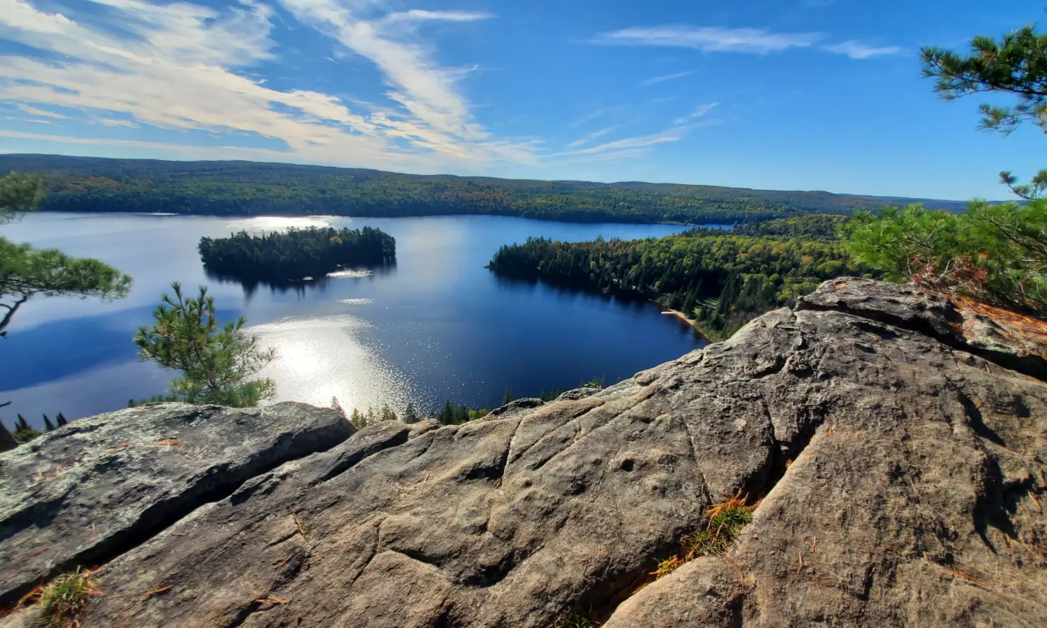
Paper maps still have a place in every backpack, but most fresh mapping data now lives online. Working digitally lets you layer accurate contours, satellite imagery, recent trail edits, and Crown‑land boundaries, then print a copy for the field. In short, you combine the reach of your phone with the reliability of paper.
GPX files are essential tools for modern navigation, letting you follow or share specific routes using GPS-enabled devices. You can find GPX files online through platforms like AllTrails or public databases, where others have already recorded their hikes. Alternatively, you can create your own: record a track using your phone or GPS watch with apps like Strava or Avenza Maps, or plan a custom route in a desktop tool like CalTopo and export it as a GPX file. These files can then be imported into various mapping apps to guide your adventures offline.
Open Caltopo, import your GPX, and refine:
AllTrails idea → Access check → GPX ready → Caltopo edits & print → PDF + GPX into Avenza. After a couple of runs the whole loop takes roughly ten minutes.
Caltopo and Avenza both offer generous free tiers and paid plans worth upgrading for if you use them regularly. Backroad Mapbooks is handy for remote ATV and forestry roads, and the Crown Land Use Policy Atlas should stay bookmarked for public‑land rules.
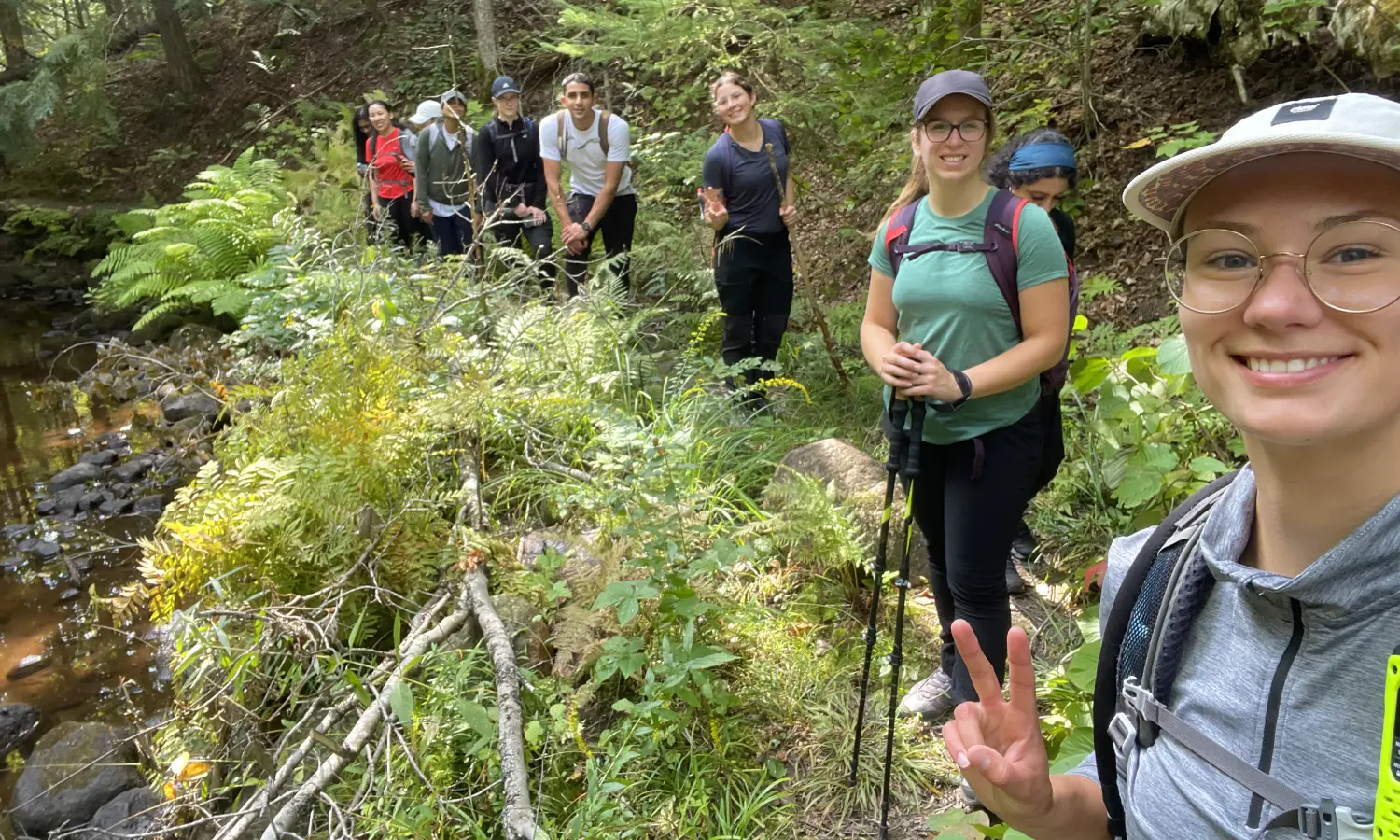
Happy mapping—and see you on the trail.