We've planned a local adventure this weekend for a competitive Treasure Hunt around High Park. We'll meet for a BYO picnic first then split into different groups, solving clues and taking on challenges as we race around the park. Once we're done, we'll hang out together for the rest of the afternoon.
We'll meet up in High Park for a BYO lunch and start to think about teams for the adventure. We'll split into teams so figure out who's going to have the skills to help you win and secure them for your team.
After a quick navigation lesson, we'll be heading off on a race around High Park, going from point to point and finding hidden clues as we go. You'll need some map reading skills, quick-witted thinking and sharp eyes to ensure your success. Along the way, you'll see some of the park's most beautiful spots and learn about the nature that surrounds you. The first team back to the start wins!
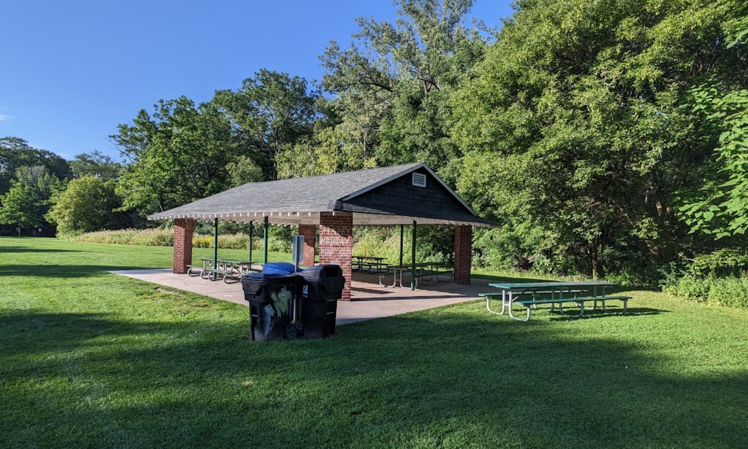
12:00 - Meet at Picnic Area #23 in High Park. There's very limited parking on Deer Pen Road, accessible via Parkside Drive. The easiest way to get there is either to take the Bloor Line to High Park Station and walk to the picnic area (approx 20 minutes walk) or ride down the hill on a Bikeshare. If you need a more detailed map of the park, download this.
13:30 - Break into teams and head off on the High Park Quest. Those who don't wish to take part will stay around the picnic area for lawn games and relaxation
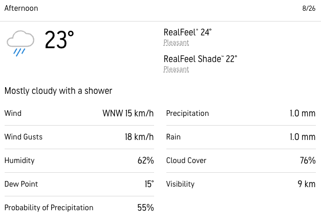
15:30- Everyone should be done at this point and we can spend the afternoon hanging out in the park if the weather's nice.
This custom map is georeferenced, meaning it will show you where you are on the map in the right software and lays out the rough path that we’ll be following. It’s opened with the Avenza app which must be downloaded and installed in advance of the adventure.
You should also download the What3words app - this makes it easy to share and find locations in the unlikely event that you get lost.
We like to share some of the indigenous background of the areas we visit because these territories have rich histories that are easy to overlook. Indigenous communities have a connection to and respect for the land that has largely been lost since European settlement. As we strive to form a deeper connection with the land, we have much to learn from these communities. You can use the Native Land map to learn more about these areas.
High Park has a particularly long and varied indigenous history, groups who maintain connections to the land include:
We've planned a local adventure this weekend for a competitive Treasure Hunt around High Park. We'll meet for a BYO picnic first then split into different groups, solving clues and taking on challenges as we race around the park. Once we're done, we'll hang out together for the rest of the afternoon.
We'll meet up in High Park for a BYO lunch and start to think about teams for the adventure. We'll split into teams so figure out who's going to have the skills to help you win and secure them for your team.
After a quick navigation lesson, we'll be heading off on a race around High Park, going from point to point and finding hidden clues as we go. You'll need some map reading skills, quick-witted thinking and sharp eyes to ensure your success. Along the way, you'll see some of the park's most beautiful spots and learn about the nature that surrounds you. The first team back to the start wins!
12:00 - Meet at Picnic Area #23 in High Park. There's very limited parking on Deer Pen Road, accessible via Parkside Drive. The easiest way to get there is either to take the Bloor Line to High Park Station and walk to the picnic area (approx 20 minutes walk) or ride down the hill on a Bikeshare. If you need a more detailed map of the park, download this.
13:30 - Break into teams and head off on the High Park Quest. Those who don't wish to take part will stay around the picnic area for lawn games and relaxation
15:30- Everyone should be done at this point and we can spend the afternoon hanging out in the park if the weather's nice.
This custom map is georeferenced, meaning it will show you where you are on the map in the right software and lays out the rough path that we’ll be following. It’s opened with the Avenza app which must be downloaded and installed in advance of the adventure.
You should also download the What3words app - this makes it easy to share and find locations in the unlikely event that you get lost.
We like to share some of the indigenous background of the areas we visit because these territories have rich histories that are easy to overlook. Indigenous communities have a connection to and respect for the land that has largely been lost since European settlement. As we strive to form a deeper connection with the land, we have much to learn from these communities. You can use the Native Land map to learn more about these areas.
High Park has a particularly long and varied indigenous history, groups who maintain connections to the land include:
